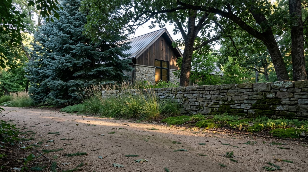
If you've walked or ridden the unmarked path that peels off from the High Line Canal near Mansfield, cuts behind what looks like a utility easement, and eventually spits you out somewhere south of Quincy with a clean shot of the mountains, you've used a piece of infrastructure that doesn't officially belong to the city. It sits on private land. No sign says so. Most people who use it were told about it by a neighbor, and they'll tell the next neighbor the same way, because until this year, that's how the whole network has worked.
That's not a gap in the city's record-keeping. It's the deal.
The Deal Nobody Wrote Down as a Contract
As Western Horseman recounts, Cherry Hills Village's bridle trails exist because a small group of horse owners in the mid-twentieth century solved a problem that killed similar trail systems in other Denver suburbs: liability. As development pushed into open country, property owners who might have granted an easement for a bridle path got nervous about what happened if someone got hurt crossing their land. In most towns, that nervousness won, and the trails disappeared lot by lot.
Cherry Hills Village took a different approach. Two residents, Al Saterdal and Ed Wasson, organized what became the Cherry Hills Park & Trail Association and went door to door asking property owners to honor easements that had been set aside decades earlier when the village first incorporated. What made owners say yes wasn't goodwill alone. As the mayor at the time, Guy H. Williams Jr., explained it, the arrangement worked because Cherry Hills Village is a home-rule city, which meant it could indemnify property owners against liability and cover the easements under the same public insurance that protected its police and street equipment. The village took on the legal risk so individual landowners didn't have to.
That's the part most residents don't know when they're riding or walking these paths today. The trail isn't a gift from a generous neighbor. It's a legal instrument the city underwrites, one easement at a time, and has been underwriting since before most current residents moved in.
What the City Actually Counts
Ask around and you'll hear the network described as somewhere between 30 and 47 miles of bridle paths, depending on which real estate listing or neighborhood guide you land on. The city's own numbers, laid out in a May 2026 council packet, are more specific and noticeably smaller.
| Source | Figure cited |
|---|---|
| Cherry Hills Village City Council packet, May 2026 | 26 miles of natural-surface bridle trail, plus 8 miles of hard-surface trail and sidewalk |
| Commonly repeated online figure | 30+ miles of trails, with bridle paths alone put as high as 47 miles |
The gap matters less as a "gotcha" and more as a signal of how this system actually gets tracked. The 26-mile bridle figure is the number the Parks, Trails and Recreation Commission works from when it budgets weed control, signage, and easement maintenance. It's the operating number. If you're trying to understand how much natural-surface trail the city is actually responsible for keeping clear and usable, that's the figure to anchor to, rather than the broader figures repeated across neighborhood guides.
Two Parks Doing the Real Work
The trail network isn't just linear paths between properties. It runs through two parks built specifically to give the equestrian side of the community somewhere to actually work a horse, not just pass through on one.
John Meade Park, redeveloped between 2019 and 2020 and reopened at a grand opening on June 26, 2021, anchors the north end. Alongside its fishing ponds, wetlands boardwalk, and amphitheater, it has a full equestrian arena that functions as the de facto shared workspace for anyone in the village who doesn't have their own. Cherry Hills Land Preserve, the nonprofit that also stewards Quincy Farm along the canal, put $10,000 toward the park's landscaping when it reopened, which is a small but telling detail about how much cross-pollination there is between the village's conservation groups and its recreation infrastructure.
Three Pond Park does something similar on a smaller footprint. At just under ten acres, it pairs a public art installation with an actual equestrian jump course, which means it's simultaneously a passive-use park for anyone walking a dog and a working training space for anyone with a horse that needs practice over fences. That dual identity, quiet park and functioning tack yard, is about as concise a summary of Cherry Hills Village's whole approach to shared land as you'll find anywhere in the city.
The Map Nobody Needed Until Now
For most of the trail system's history, none of this required a map. You learned the network from someone who already knew it, the same way the original easements got secured: one conversation at a time. That's changing in 2026.
The Parks, Trails and Recreation Commission has been developing new official Parks & Trails maps since 2025, with rollout expected this year. Attached to that project is a decision the commission is still working through in real time: whether to start with a single sign at John Meade Park before expanding signage elsewhere, based on how residents respond. It's a deliberately slow rollout, and the commission's own March 2026 meeting notes show members debating smaller but related issues alongside it, including whether shoulder-adjacent trail segments along Colorado Boulevard, Quincy Avenue, and Holly Street need better delineation to keep vehicles off them, and whether the Quincy and Colorado crossings for the High Line Canal Trail need a raised crosswalk for safety.
The same 2026 work plan also folds in e-bike policy for the first time, a sign that the commission is treating trail governance as an active, evolving job rather than a fixed asset to maintain. If you've relied on word of mouth to find your way around the network, this is the year that starts to change, gradually and on the city's own schedule rather than all at once.
Finding Them Before the Signs Do
Until the new signage catches up, the network still rewards the same kind of local knowledge it always has. The unmarked trail off Mansfield near the canal, the one that runs behind a stretch that looks like nothing more than a utility corridor, still threads past Kent Denver, cuts between the Cherry Ridge and Cherry Hills Farms subdivisions, crosses South University near St. Mary's Academy, and ends at a clear view west toward the mountains. None of that is signed. All of it is real, and all of it depends on someone having shown you the way first.
A few things worth knowing if you're exploring on your own before the mapping project finishes:
- Natural-surface bridle trail and hard-surface trail are tracked separately by the city, and they're maintained differently. Don't assume a paved stretch behaves like the dirt sections that connect to it.
- Some segments run directly alongside roads like Colorado Boulevard and Quincy Avenue with no physical separation from traffic. The commission is actively studying this, which means it's a live safety conversation, not a solved one.
- If you're new to the network, John Meade Park and Three Pond Park are the two spots built to be found. Everything connecting them is still largely passed along by word of mouth.
That last point is really the thesis of the whole system. Cherry Hills Village didn't build a trail network and then figure out the legal cover. It built the legal cover first, then let the trails grow into whatever shape the easements allowed. The result is a network that has always depended on someone local walking you through it. For one more year, that's still mostly true.
If you're weighing what a property here actually offers beyond the acreage, from trail access to the zoning behind it, Niki Collier can walk you through what's real, what's still word of mouth, and what's about to be on a map for the first time in the city's history.
This article is general information, not legal, tax or financial advice. Consult a qualified professional about your situation.