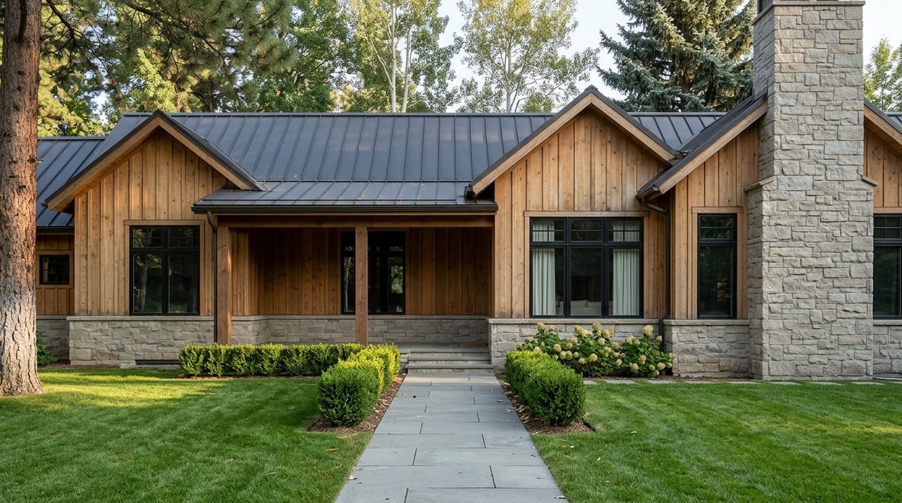
Trying to choose the right part of Cherry Hills Village can feel tricky at first because the city is highly residential, visually cohesive, and full of custom homes. If you are comparing one neighborhood pocket to another, the differences are often more subtle than in places where retail, density, and housing types shift block by block. This guide will help you understand what actually changes across Cherry Hills Village so you can focus your search with more confidence. Let’s dive in.
What makes Cherry Hills Village different
Cherry Hills Village covers about 6.5 square miles and has roughly 6,000 residents. According to the city’s master plan and history, it is overwhelmingly residential, with land use centered on rural-density, low-density, and medium-density housing, plus parks, open space, institutional areas, floodplain, and limited commercial pockets.
For you as a buyer, that means neighborhood differences usually come down to lot pattern, setbacks, street layout, trail access, and location within the city. In other words, you are usually not choosing between an urban district and a suburban district. You are choosing between different versions of a single-family, semi-rural residential setting.
How to compare Cherry Hills Village neighborhoods
A useful way to think about Cherry Hills Village is in four buyer-facing clusters:
- West and northwest historic core
- Central canal and park corridor
- South and south-central golf-and-trail pockets
- East and northeast annexed pockets
These groupings follow the city’s official neighborhood map and make comparison easier. They are not formal planning districts, but they are a practical way to understand how one area may feel different from another.
West historic core feel
Older residential roots
The west and northwest side includes areas such as Country Homes, Buell Mansion, Devonshire, and Cherry Hills Meadow. The city history identifies Country Homes, also called The Circle, as the area south of Hampden and west of University, with homes already built there by 1938.
This part of the Village is often the easiest to think of as the older, more established side. Based on the city’s map and history, buyers often notice a stronger sense of early residential development, mature landscaping, and larger setbacks.
What buyers often notice here
If you are drawn to homes with a more established setting, this cluster may stand out. The official sources support the area’s long history, while the more open, estate-like feel is a reasonable map-based inference.
You may want to focus on:
- Whether you prefer a less uniform street pattern
- How much mature landscaping matters to you
- Whether a longer-established setting fits your goals
Central canal and park corridor
Parks, trails, and core amenities
The central cluster includes areas such as Cherry Hills Farm, Cherry Hills Farms West, Cherry Hills Park I, Cherrymoor South, and Cherry Hills Park. On the official map, these pockets sit around Quincy, Belleview, the High Line Canal, and the Cherry Hills Country Club, Cherry Hills Village Elementary, and St. Mary’s Academy area.
This corridor also connects you to several notable public amenities. The city highlights John Meade Park, Alan Hutto Memorial Commons, and trail connections throughout this part of the Village.
Why this area appeals to many buyers
If daily outdoor access matters to you, this section deserves a close look. Buyers comparing these neighborhoods are often choosing between similar large-lot, custom-home settings with different levels of park and trail access, along with different internal street patterns.
This can be a strong fit if you want:
- Proximity to the High Line Canal corridor
- Easier access to public green space
- A central location within the Village
South golf-and-trail pockets
Buffered, internal feel
The south and south-central side includes areas such as Glenmoor, Fairlea Farm, Meade, Cherry Hills Estates, and parts of Cherry Hills Park. Glenmoor is shown on the official neighborhood map as a distinct large enclave beside Glenmoor Country Club and within the canal and open-space corridor.
Based on the map, this part of the Village can read as more internally buffered than neighborhoods closer to the city edges. For some buyers, that creates a strong sense of privacy and separation from through traffic.
The everyday tradeoff
This area also sits close to Belleview Avenue and Quincy Avenue. In practical terms, buyers often weigh internal quiet and privacy against quick access to major east-west routes.
That balance matters if your routine includes frequent trips beyond the Village. You may love the calmer internal setting, but you will still want to test drive times and route options as part of your search.
East and northeast annexed pockets
Edge locations with stronger outside connections
The east and northeast side includes Cherry Hills East, Cherry Hills North, Southmoor Vista, Mansfield Heights, and the Charlou area. The city history says several of these areas were annexed to prevent Denver encroachment.
On the city map, these neighborhoods sit near Colorado Boulevard, Happy Canyon, and the city boundary. The land-use map also shows nearby regional anchors such as RTD Southmoor Station and Southmoor Park outside or near the edge of the Village context.
Why buyers consider this side
Compared with the older west-side estate pockets, this side often reads as more suburban in street geometry and more directly connected to errands and travel outside the Village. That is an inference from the official map and geography, but it is a useful one for buyers.
If convenience to the village edge matters to you, this cluster may deserve extra attention. It can be especially helpful if you want a Cherry Hills Village address while staying closely tied to surrounding destinations.
What really changes from neighborhood to neighborhood
Lot pattern and setbacks
The city’s history makes clear that Cherry Hills Village was shaped to preserve single-family residential properties and a semi-rural character. That helps explain why neighborhood comparison here is usually about physical layout rather than dramatic shifts in use.
As you tour homes, pay attention to how lots sit on the land, how homes relate to the street, and how much space exists between neighboring properties. Those factors often shape your day-to-day experience more than the neighborhood name itself.
Street geometry
In some areas, streets may feel more irregular and organic. In others, especially later planned enclaves, the pattern may feel more consistent and internally organized.
That difference can affect how a neighborhood feels when you drive through it. It can also influence privacy, circulation, and the overall sense of rhythm from one block to the next.
Development era and housing character
Official city sources do not provide a full inventory of home styles by neighborhood. Still, the city’s history and maps suggest a range that runs from prewar and early residential homes in Country Homes to later custom-home enclaves in places such as Glenmoor, Buell Mansion, and Cherry Hills Farm.
For you, that means architecture is better understood as a spectrum than a single Village-wide look. If style matters, it is smart to compare not just neighborhoods, but also the era and placement of individual homes.
Amenities that can shape your decision
Cherry Hills Village says residents have access to more than 34 miles of trails, 47 acres of parks and open space, the High Line Canal, two golf courses, and three schools. For buyers, those features can matter just as much as the home itself.
The city specifically highlights John Meade Park, Dahlia Hollow Park, Blackmer Common, and the High Line Canal as key amenities. Blackmer Common is southeast of Kent Denver School and can be accessed from the High Line Canal Trail or Dahlia Street, while Dahlia Hollow Park and Three Pond Park are also important green-space anchors on the city map.
If you plan to walk, bike, or use trails often, compare neighborhoods based on how easily you can reach these public spaces. In Cherry Hills Village, that can be one of the most meaningful lifestyle differences from one pocket to another.
Convenience in a mostly residential city
Because the Village has only limited commercial land use, convenience often means how quickly you can reach the city’s main edges and arterials. The city history notes a long-standing effort to confine cars to designated arterials, and the current maps reinforce that pattern.
For buyers, that usually means paying attention to access to:
- University Boulevard
- Hampden Avenue
- Quincy Avenue
- Belleview Avenue
- Colorado Boulevard
In practical terms, some neighborhoods may feel more tucked away, while others may provide a quicker path to shopping, services, and regional travel outside the Village.
A simple way to narrow your search
If you are deciding where to focus, start by asking yourself a few simple questions:
- Do you prefer an older, more established setting or a more internally planned enclave?
- Do trails and parks need to be close enough for regular use?
- Is quicker access to major roads part of your daily routine?
- Do you want a more buffered interior location or a neighborhood closer to the Village edge?
Those questions are often more useful than trying to rank neighborhoods. In Cherry Hills Village, the best fit is usually about matching your routine and preferences to the city’s different residential pockets.
If you want help sorting through Cherry Hills Village neighborhoods and identifying which areas best fit your priorities, Niki Collier can help you compare locations, lifestyle tradeoffs, and available homes with a clear local perspective.
FAQs
What are the main neighborhood groupings in Cherry Hills Village for buyers?
- Buyers can think about Cherry Hills Village in four practical clusters: west and northwest historic core, central canal and park corridor, south and south-central golf-and-trail pockets, and east and northeast annexed pockets.
What is the biggest difference between Cherry Hills Village neighborhoods?
- The biggest differences are usually lot pattern, setbacks, street geometry, trail and park proximity, and how close each area sits to the Village edges and major roads.
Which Cherry Hills Village areas feel older or more established?
- The west and northwest cluster, including Country Homes and nearby areas, is generally the part of the Village most closely associated with earlier residential development and mature landscaping.
Which Cherry Hills Village neighborhoods are best for trail and park access?
- The central canal and park corridor is often a strong place to start if you want close access to the High Line Canal, John Meade Park, Alan Hutto Memorial Commons, and connected trails.
Which parts of Cherry Hills Village may feel more connected to outside errands?
- The east and northeast pockets often read as more directly connected to the Village boundary and nearby regional routes, which can matter if you want easier access to destinations outside Cherry Hills Village.
Does Cherry Hills Village have mixed-use or retail-focused neighborhoods?
- No. Based on the city’s plans and history, Cherry Hills Village is overwhelmingly residential, with only limited commercial land use, so neighborhood differences are mostly about residential layout and location rather than retail intensity.